Jug Bay Wetlands Sanctuary Properties
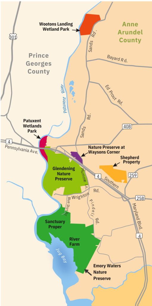
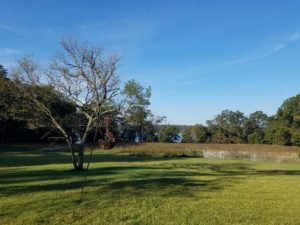
Jug Bay Wetlands Sanctuary (JBWS) is the largest of eight regional parks operated by Anne Arundel County Department of Recreation and Parks; it is also one of three sites that comprise the Maryland Chesapeake Bay National Estuarine Research Reserve (CBNERR-MD). It contains 1,700 acres of tidal freshwater marshes, forested wetlands, upland and riparian forest, creeks, meadows, pine and sand barrens, and vernal pools.
The Sanctuary is located in the tidal reaches of the Patuxent River, and its large stand of tidal freshwater wetlands contains a high diversity of plants, which are home to many bird, fish, reptile, and mammal species. Audubon Maryland-DC designated JBWS as an Important Bird Area in 2016. Located in southern Anne Arundel County, 20 miles east of Washington, DC, and 18 miles south of Annapolis, the Sanctuary is a designated site on the Patuxent Water Trail.
JBWS is supported by the Friends of Jug Bay (FOJB), a non-profit organization that acts to preserve the Sanctuary and to support its education, stewardship, and research programs. Through financial contributions and active engagement, FOJB members provide critical support that greatly enhances Sanctuary programs and activities.
The Sanctuary Proper
Sanctuary Proper: Visitor Center, Main Office, Trails
Address: 1361 Wrighton Road, Lothian, MD 20711
Phone: 410-222-8006
*No pets please
Hours
OPEN: Wednesday, Friday, Saturday, Sunday (Closed Sundays Dec-Feb)
9:00am - 5:00pm
CLOSED: Monday, Tuesday, Thursday
Admission
$6 per vehicle
Starting September 1st, all FOJB memberships purchased will not include free parking. Memberships purchased before September 1, 2025, will be honored for free parking until their stated expiration date.
Free entrance for active military, veterans, and their families (ID required)
Annual Pass
- County resident - $30
- Non-County resident - $40
Lifetime/Senior Pass
- County & Non-County - $40
Information on the lifetime Senior Citizen Pass can be found here.
Please consider supporting the great work the Sanctuary does by becoming a Friends of Jug Bay member. Memberships are offered at different levels and will help support Sanctuary’s work on outdoor environmental education, stewardship, and citizen science! For more information, please visit the FOJB webpage here!
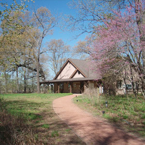
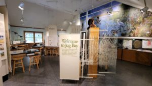
The Sanctuary Proper is home to the Jug Bay Wetlands Sanctuary Visitor Center, the Sanctuary headquarters. Visitors may explore the wetlands exhibit and the nature play space, attend lectures or public programs, or enjoy an independent hike immersed in nature. Most programming occurs at this site. The Sanctuary Proper is the only property with a full facility and staff.
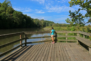
It has nearly 17 miles of trails, many offering beautiful views of the Patuxent River. Highlights include river overlooks, upland forest, a beaver pond, swamp, wetland boardwalks, and wildlife blinds. A Patuxent Water Trail stop is also located at the end of the pier on the Sanctuary’s Railroad Bed Trail.
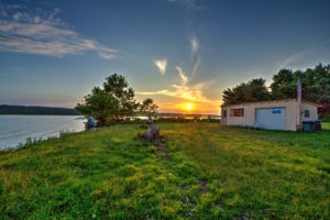
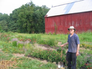
Hikers may access the River Farm and Emory Waters Nature Preserve (EWNP) portions of this property by trail from this starting location. The River Farm has a community garden and a picnic area on the water in addition to trails. EWNP features pollinator gardens and a picnic area. There are also two paddle-in only campsites available at EWNP's Emory Landing, which can be booked through Anne Arundel County Recreation and Parks.
Please note: At the Sanctuary Proper, we limit public access to protect sensitive areas. Foot traffic only, no pets, horses, or bicycles. There is no boat launch or fishing at this location.
Glendening Nature Preserve
Plummer Road Entrance (Main Entrance)
5702 Plummer Lane, Lothian, MD 20711
Hours
Daily
9:00am - 5:00pm
Wrighton Road Entrance
1290 Wrighton Road, Lothian, MD 20711
Hours
Daily
9:00am - 5:00pm
*Leashed dogs allowed. Please pick up after your pet.
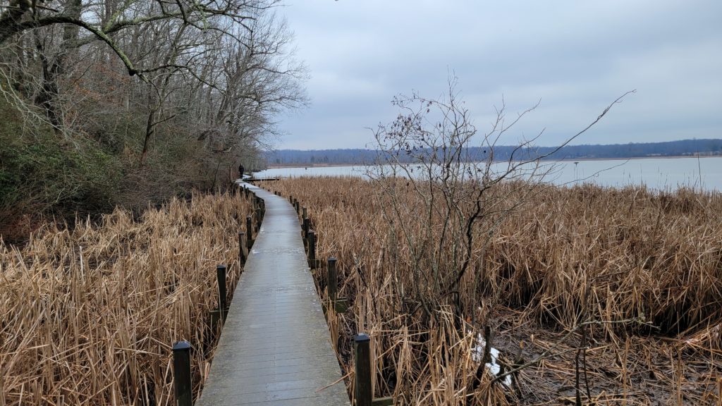
The Glendening Nature Preserve (GNP) offers over 8 miles of trails through 622 acres of diverse habitat. Trails wander through meadows, pine barrens, sand barrens, upland forest, streams and to the Patuxent River. A boardwalk extends 460ft through wetlands to Old Galloway Creek with a view of the Patuxent River. Some public outdoor education programs also occur at this property, mainly around the Plummer House area.
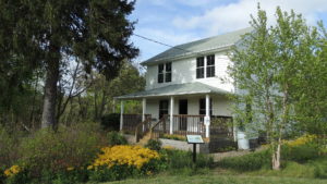
The Plummer House, a farm house restored in 2007, is located off Plummer Lane and is used for meetings and public education. Plummer House is also available to rent.
This location also features a butterfly garden. The garden is the home to over 90 plant species and over 45 different butterfly species.
Wootons Landing Wetland Park
Wootons Landing is a 143-acre park along the Patuxent, 7 miles upriver from the Sanctuary Proper. This former sand and gravel mine has reconstructed wetlands and an observation deck along a loop trail. A 1.6 mile trail takes hikers along the river, wetlands, an active beaver pond, and into upland forest.
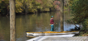
A floating dock on the Patuxent River is available for launching cartop boats. Parking is at the entrance. There are no restroom facilities. This is stop 43 on the Patuxent Water Trail.
Nature Preserve at Waysons Corner
Sands Road Entrance
5490 Sands Road, Lothian, MD 20711
Hours
Daily, Dawn - Dusk
Southern Maryland Blvd Entrance
5481 Southern Maryland Blvd, Lothian, MD 20711
Hours
Daily, Dawn - Dusk
*Leashed dogs allowed. Please pick up after your pet.
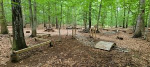
This 30 acre forest is located conveniently in Waysons Corner. There is a short hiking trail, picnic area, and nature play space. There are two entrances, both with parking areas.
You can read the full story of establishing Waysons Corner Nature Preserve in the Fall 2017 edition of our quarterly Marsh Notes publication.
Patuxent Wetlands Park
1426 Mt. Zion Marlboro Road, Lothian, MD 20711
Hours
Daily, Dawn - Dusk
Patuxent Wetlands Park encompasses 43 acres of wetlands along the Patuxent, 3 miles upriver from the Sanctuary Proper. The park offers a canoe/kayak put-in and small fishing pier. This is stop 47 on the Patuxent Water Trail.


